About
I’m a cartographer and photographer with a focus on connecting people with conservation. I currently lead cartography and spatial analysis at the nation’s leading public lands conservation and advocacy organization, The Wilderness Society.
My maps are used in debates in Congress, films, stakeholder meetings throughout the country, court cases, our digital stories, meetings with
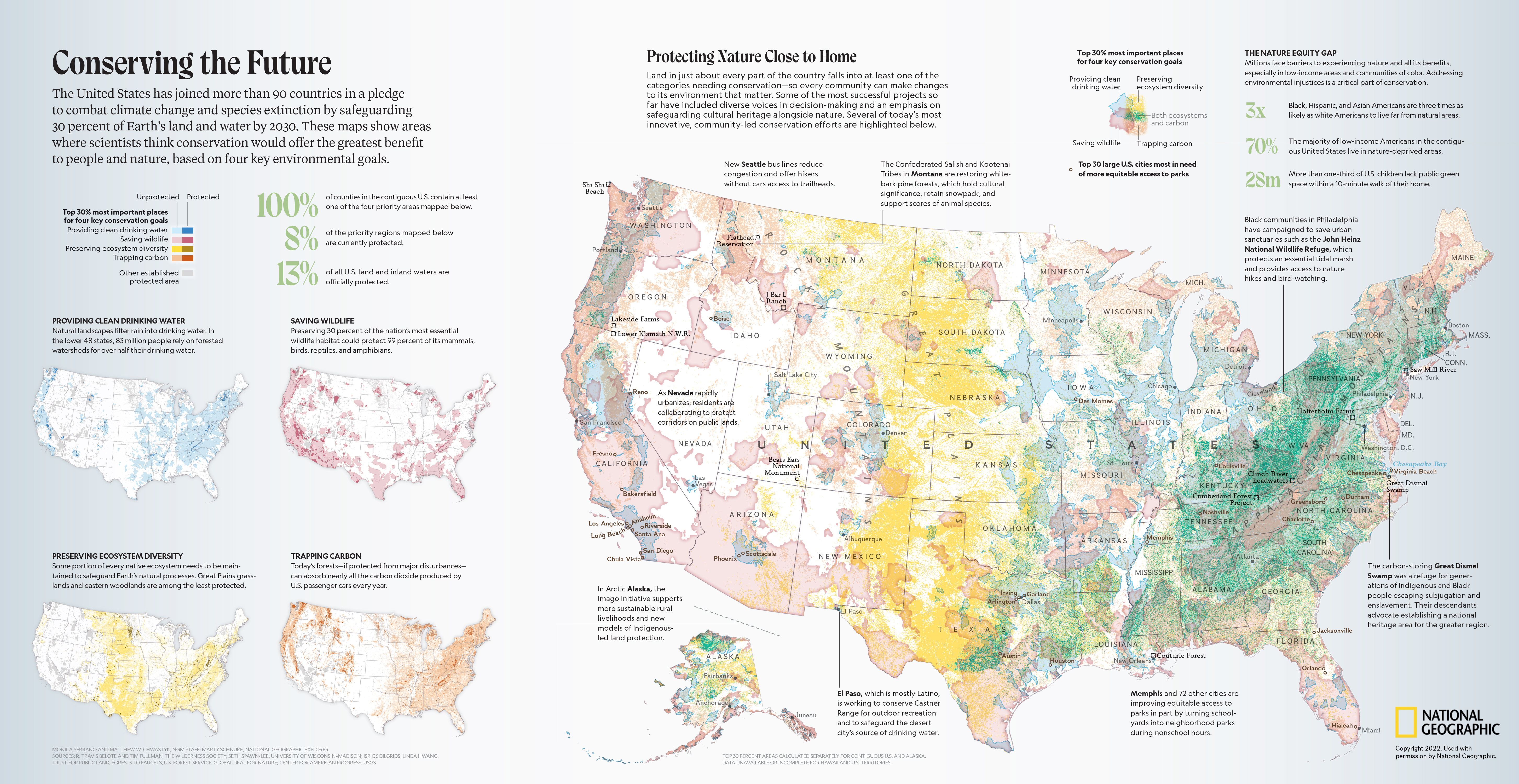
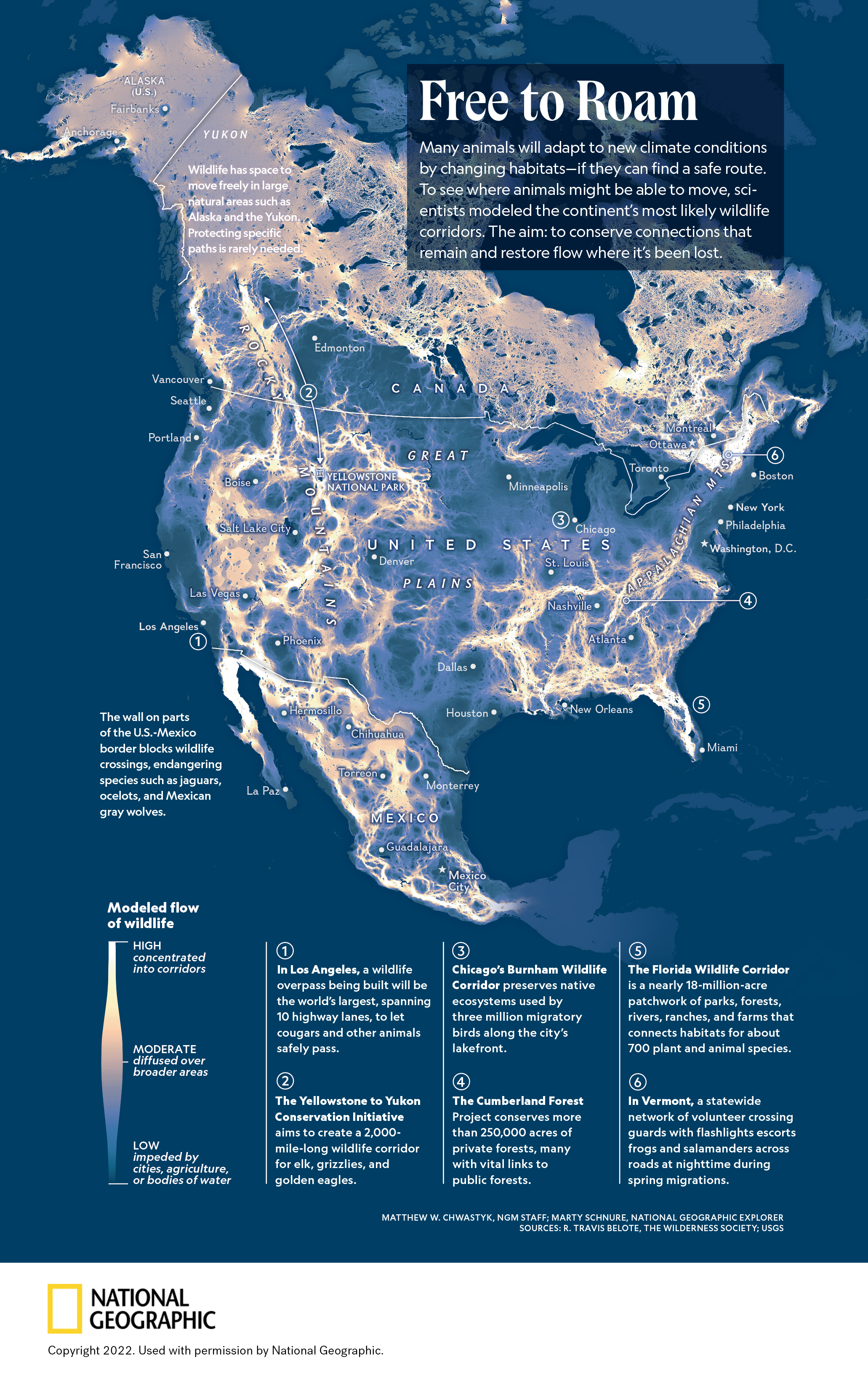
donors, and more. I recently designed and produced the maps for National Geographic Magazine’s September 2022 cover story, “America the Beautiful.”
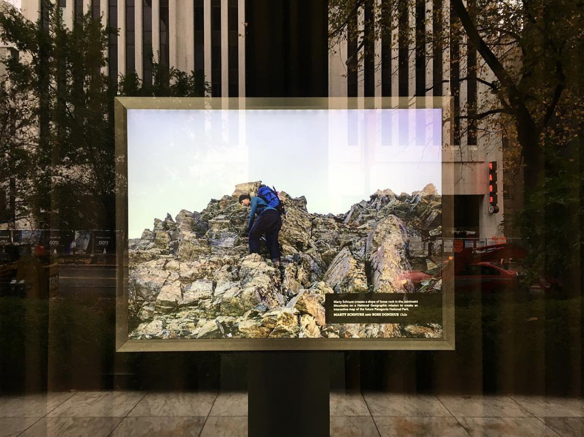
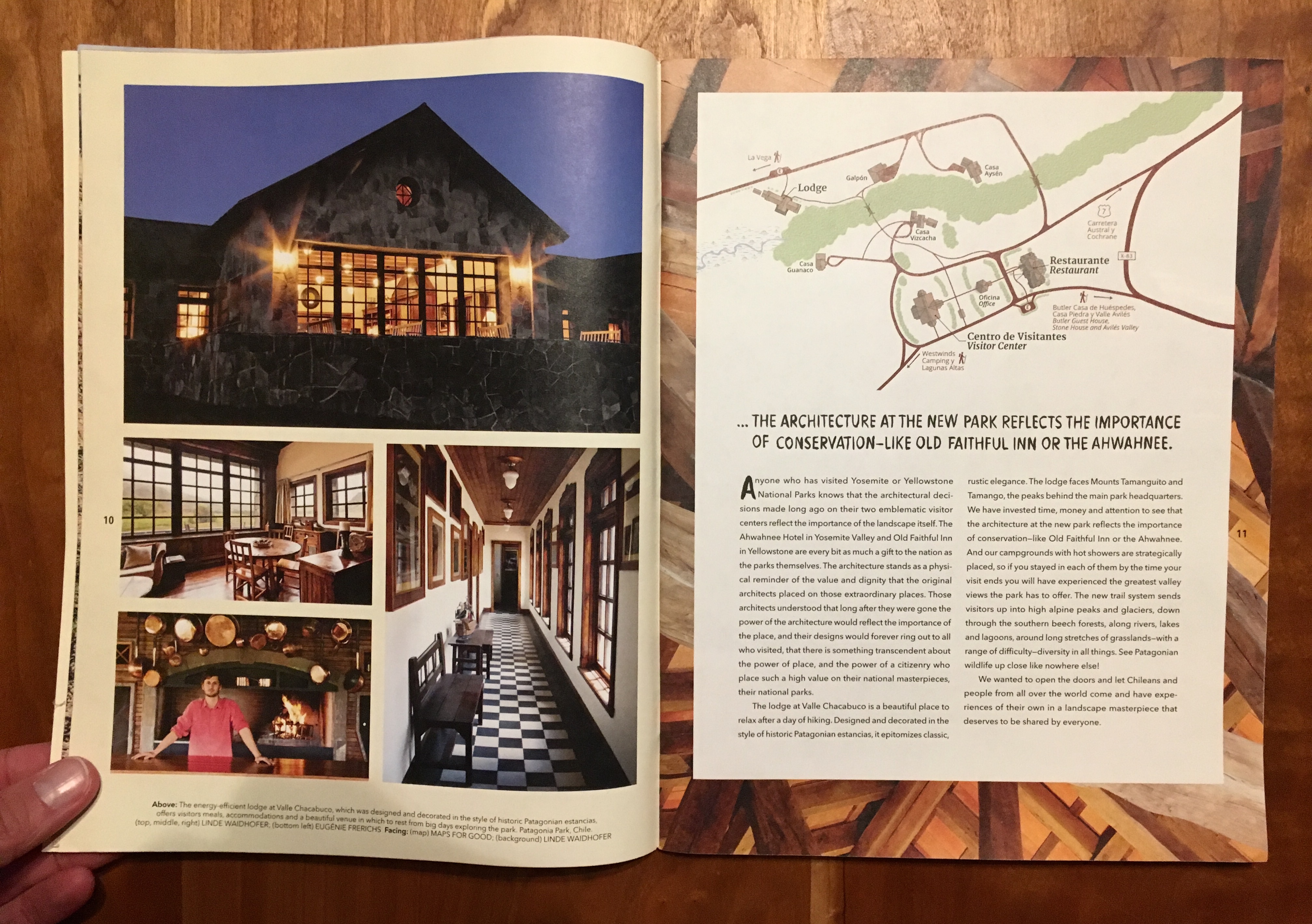
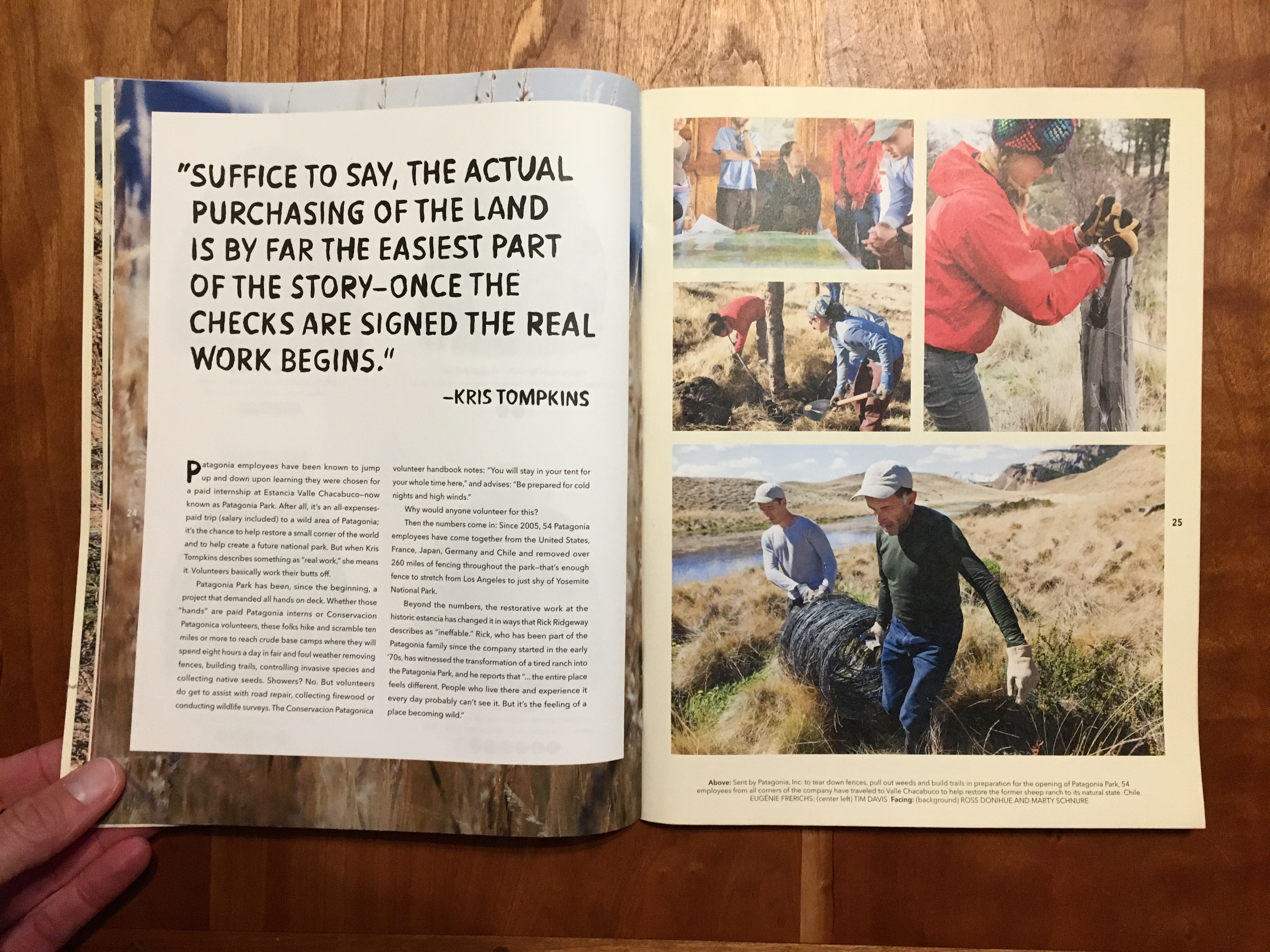
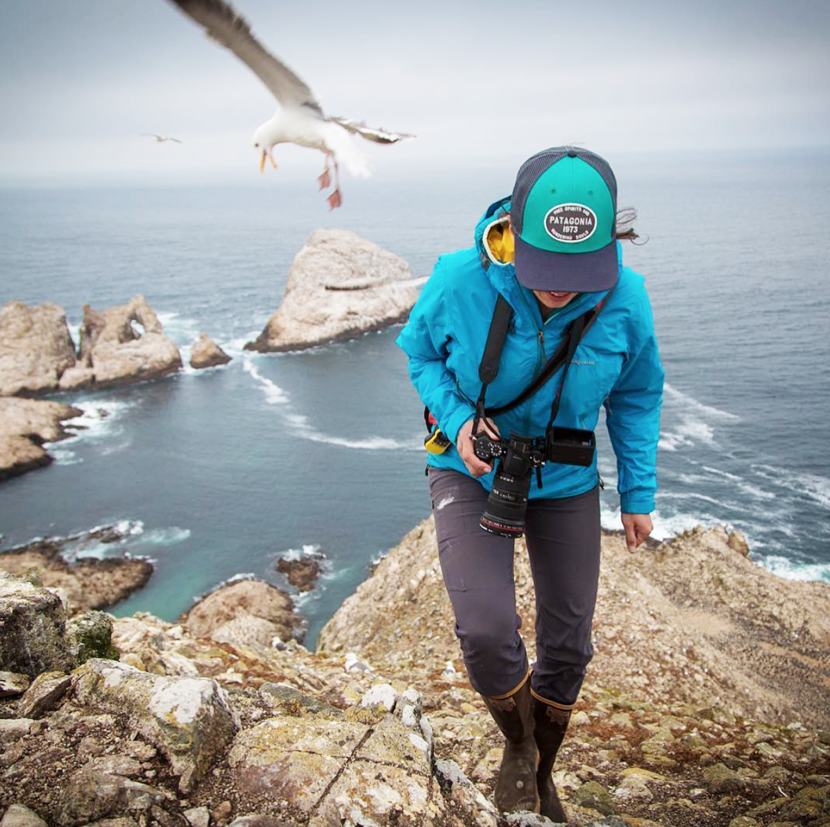
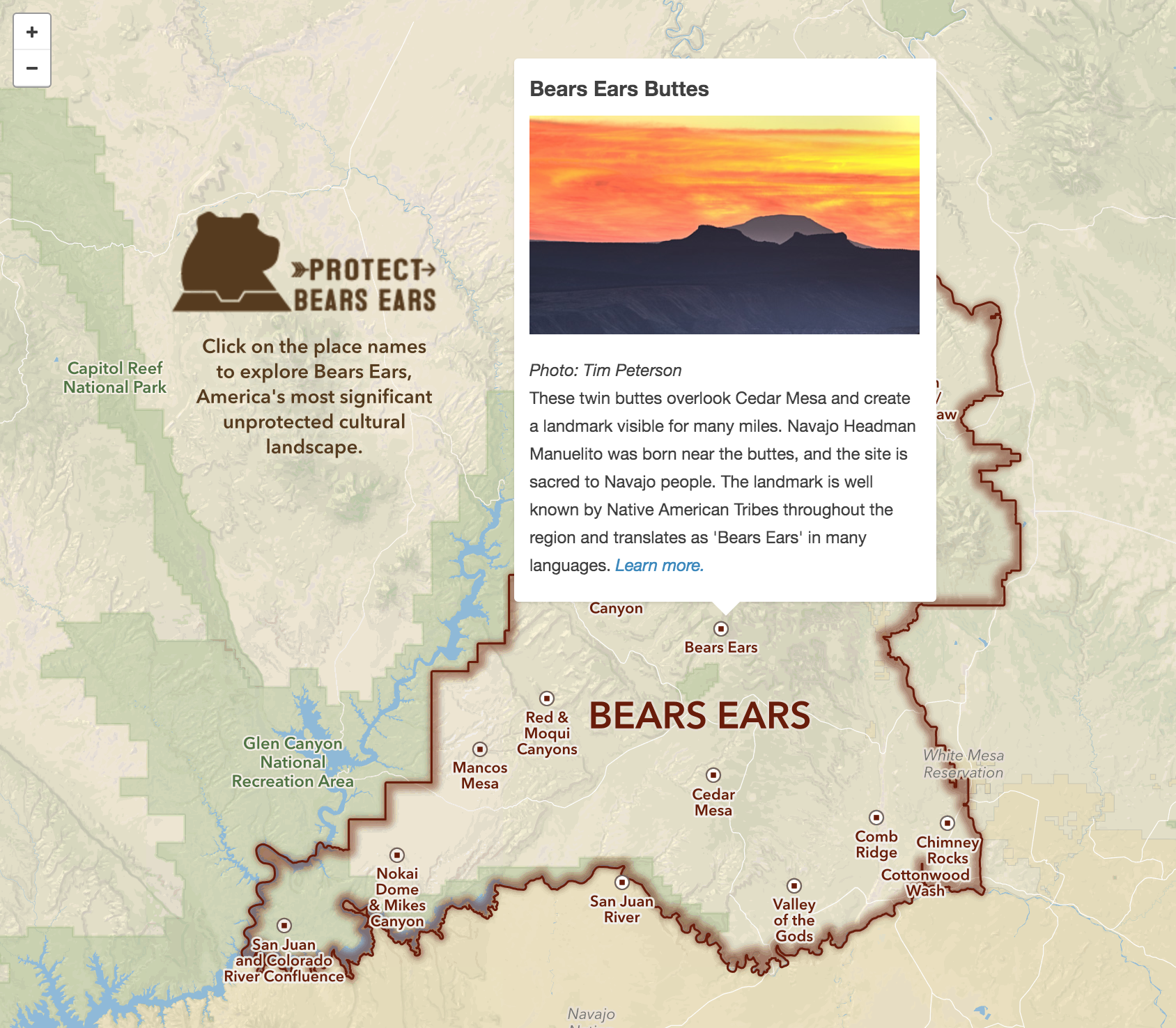
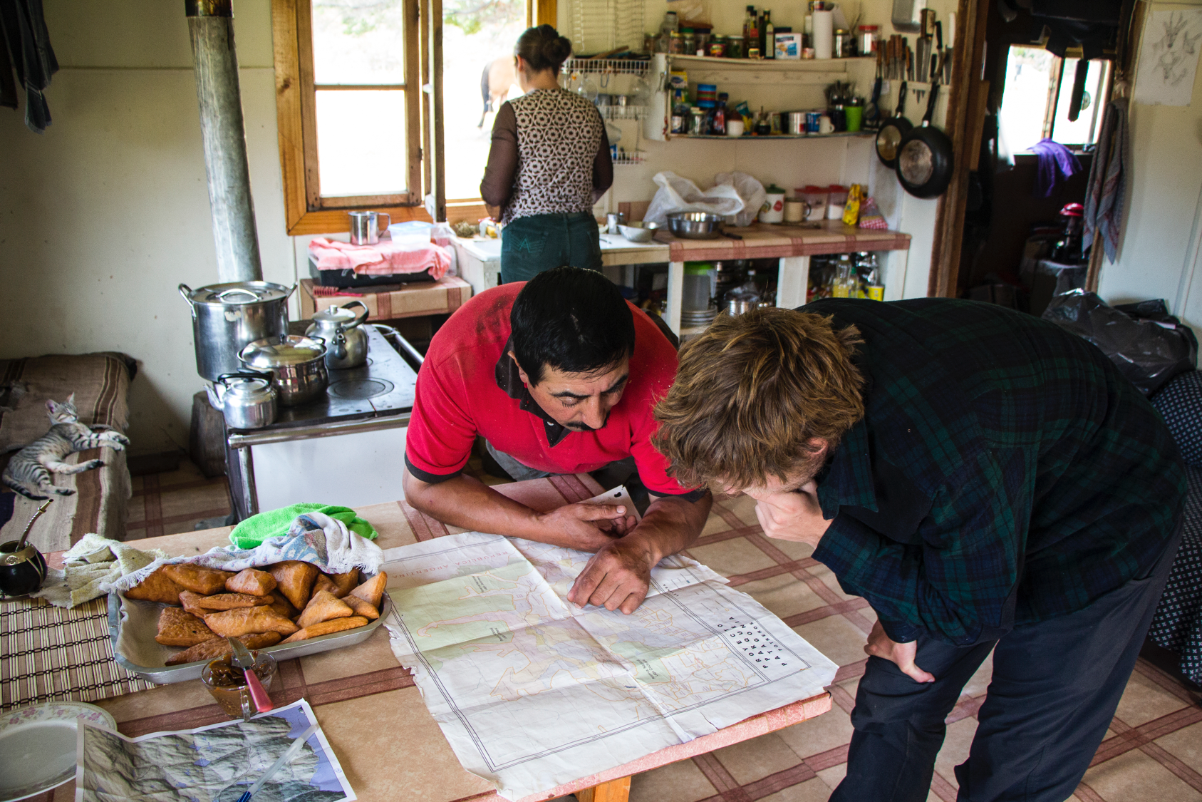
I founded Maps for Good with Ross Donihue in 2012 with the mission of creating maps and media to promote conservation initiatives and connect people with wild places. My work with Maps for Good has taken me to wildlands around the world, some highlights being mapping the future Patagonia National Park in southern Chile, creating science communication stories on the Farallon National Wildlife Refuge, mapping a Bellbird corridor in Costa Rica, and developing interactive maps of the then-proposed Bears Ears National Monument.
Before founding Maps for Good, I got my start in cartography at National Geographic Maps and National Geographic Magazine. I stay involved with the Society as a National Geographic Explorer with the Expeditions Council, which has funded multiple Maps for Good projects. I live in Seattle with my husband and daughter.
You can find some of my recent maps here and photography here.

Arctic Refuge map in Congress
Interview on the Dirtbag Diaries
Maps. We’ve all studied them. Stuffed them into backpacks or the seatback pocket of our car. Maybe we’ve even been led astray by a map. But have you ever thought about the person who made that map? Or how that person might influence your initial impression of a landscape?
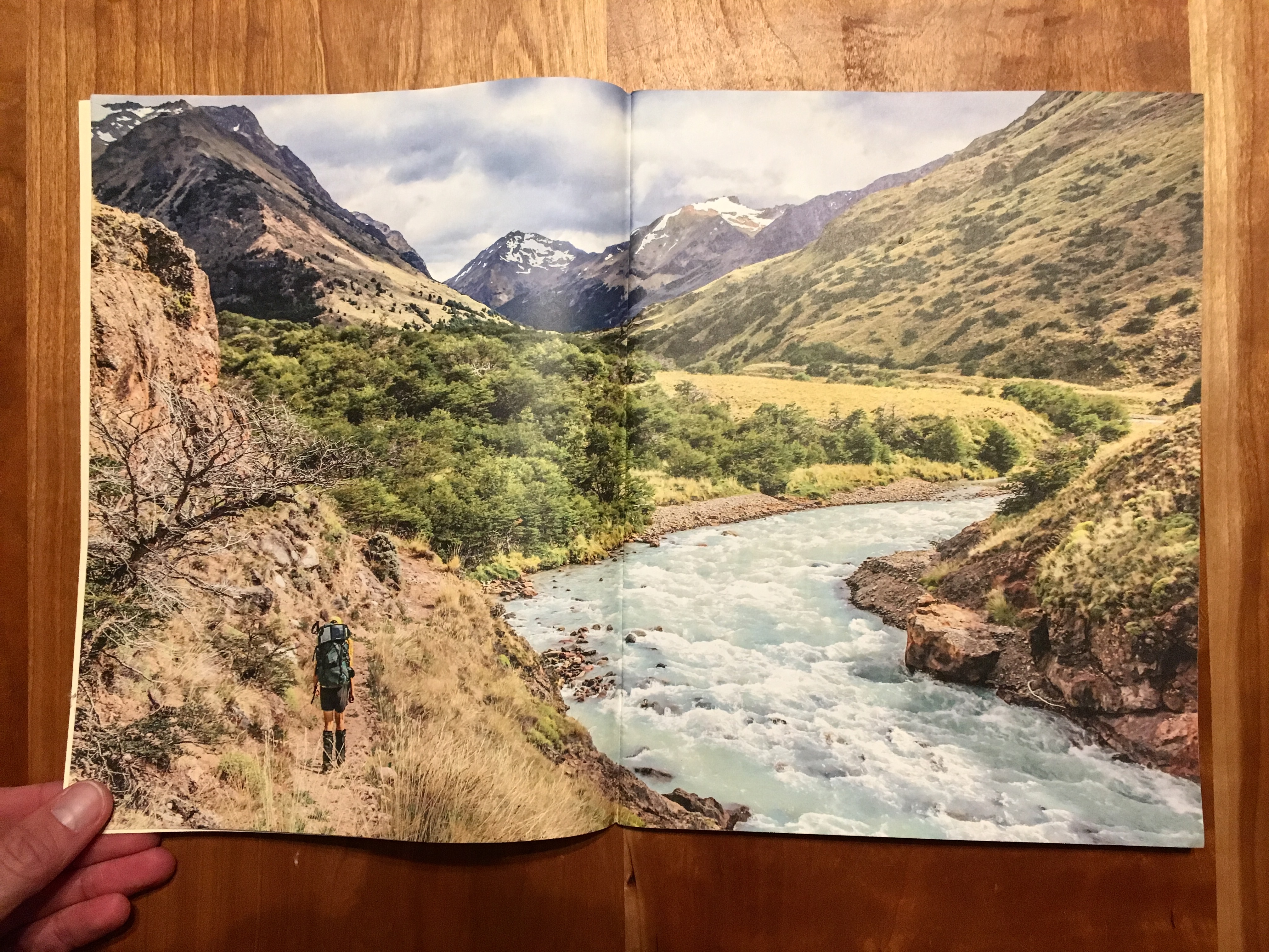
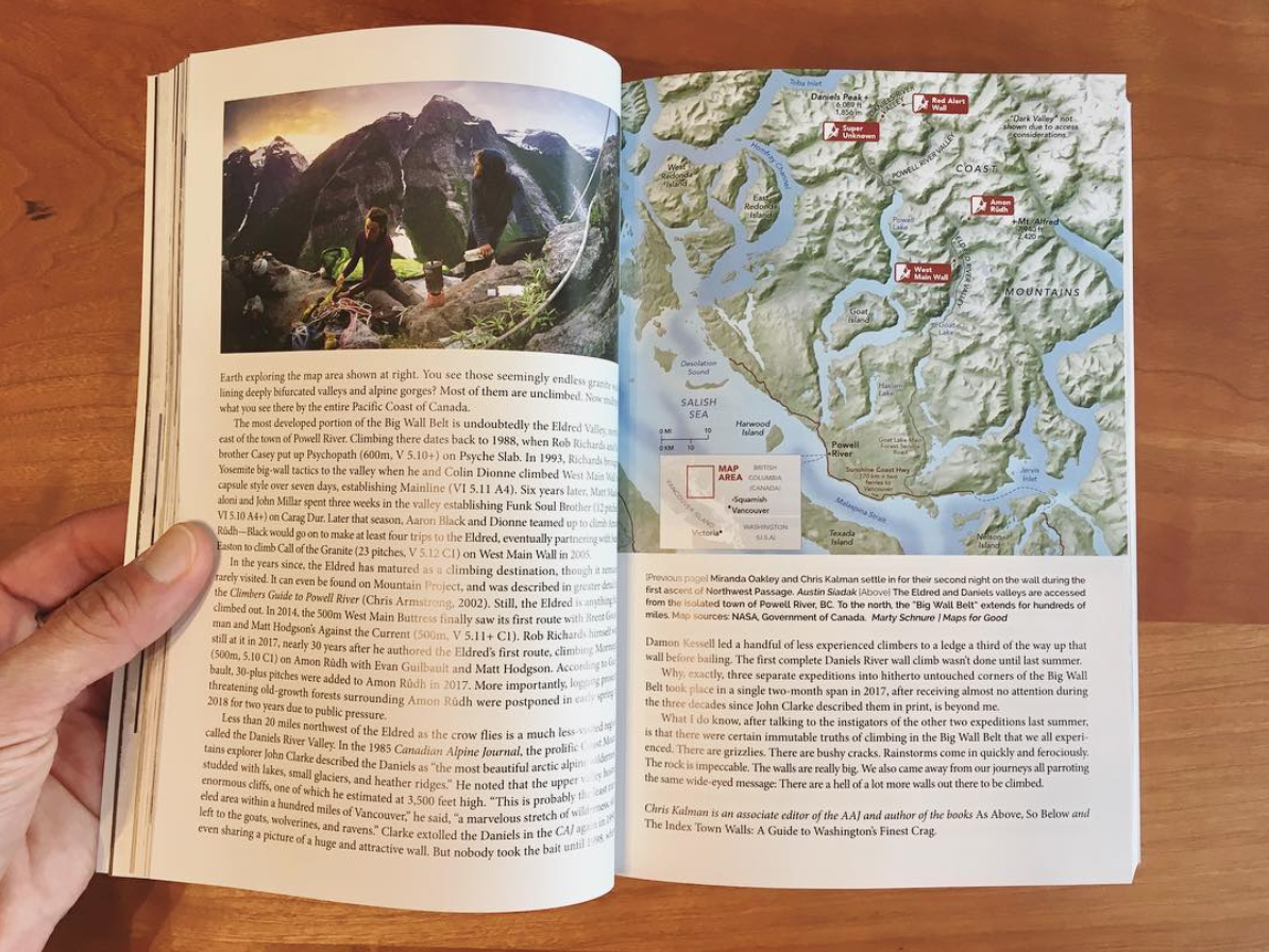
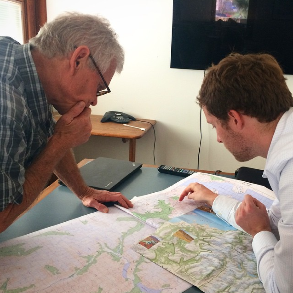
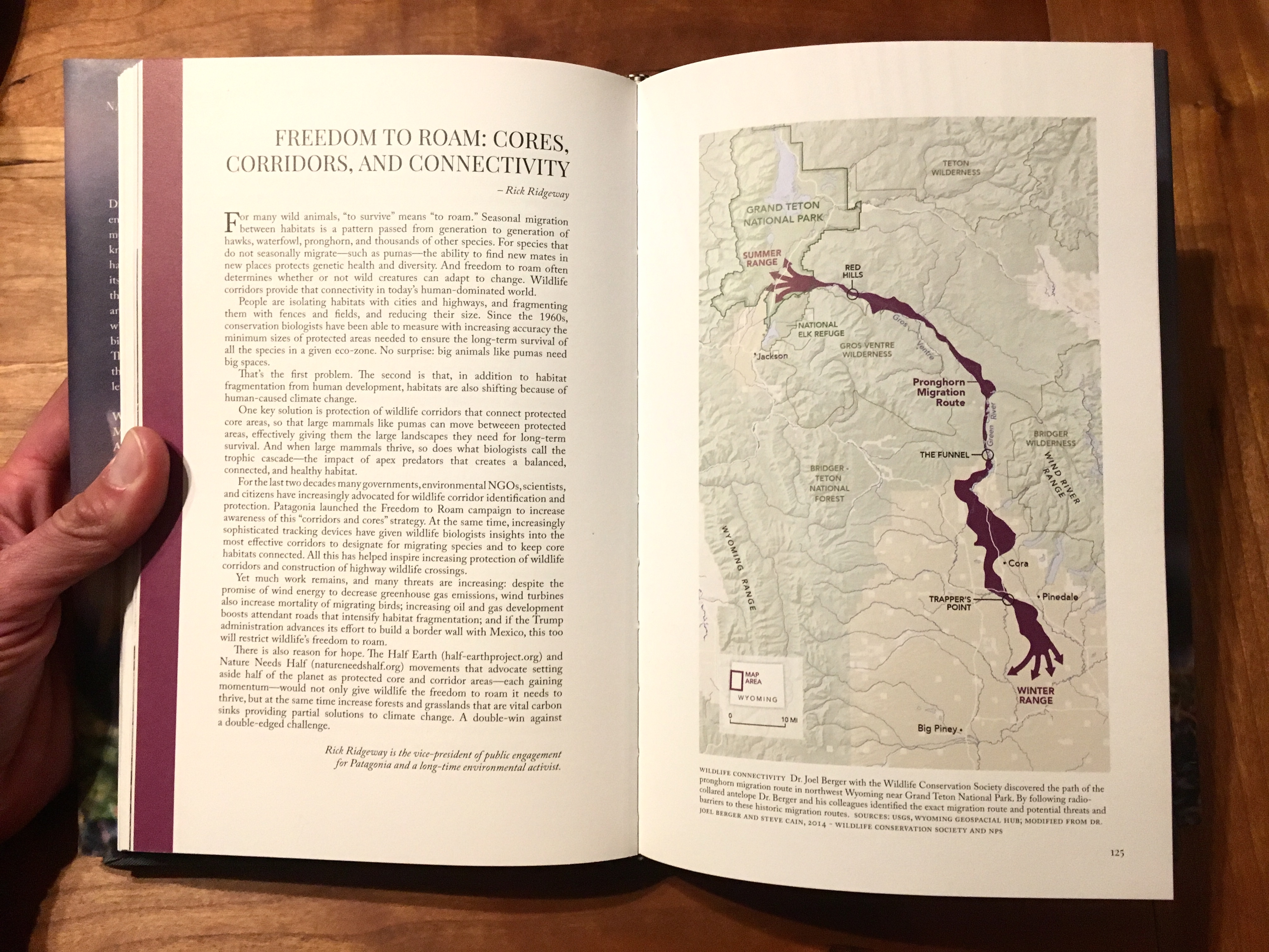
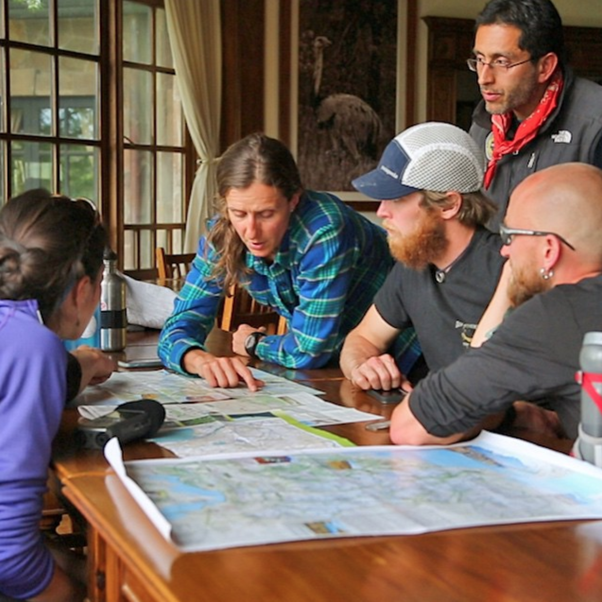
Credit for photos above: Allen Roberts (1), Ross Donihue (3&4).
Sometimes people lie with maps. Sometimes in ways that really matter. When that happens it is up to us as cartographers to set the record straight. With my colleagues at The Wilderness Society, I made a map to counter a decades-long deliberate attempt to mislead the American public about the impacts of oil drilling in the Arctic National Wildlife Refuge. In this video, the two maps go head to head in a debate on the House floor.
Interview on the Dirtbag Diaries
Maps. We’ve all studied them. Stuffed them into backpacks or the seatback pocket of our car. Maybe we’ve even been led astray by a map. But have you ever thought about the person who made that map? Or how that person might influence your initial impression of a landscape?
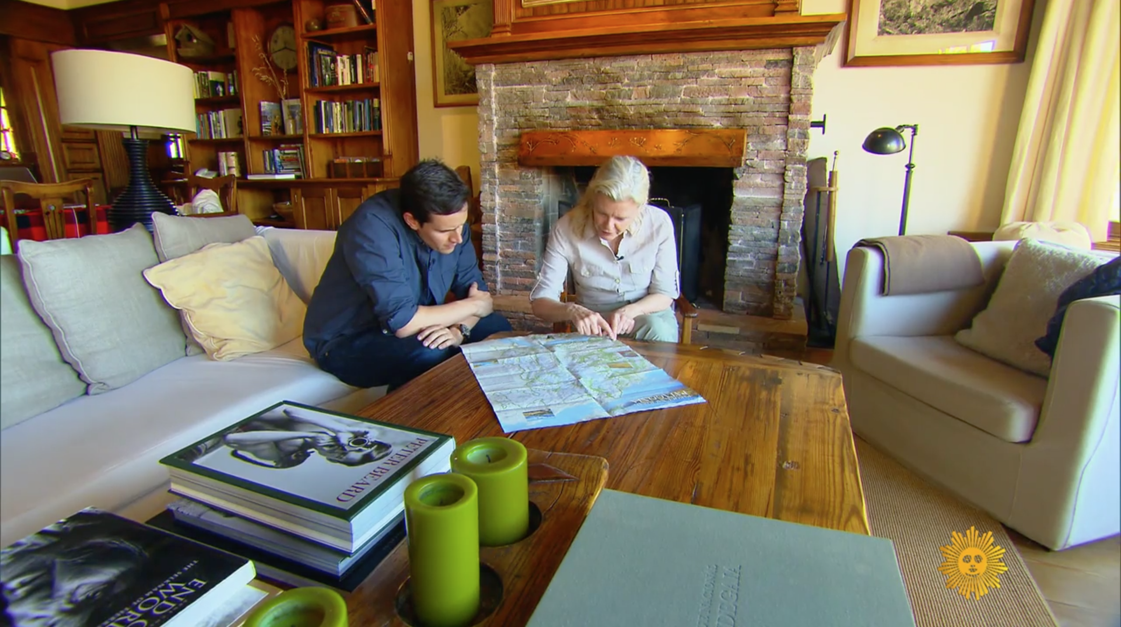
“A map is not a perfect representation of a landscape. It’s an abstract representation,” says cartographer Marty Schnure. Today, we have a story about a mapmaker, Patagonia Park, and the process Marty uses to create a map–a map that she hopes will connect you to a place.
Credit for photos above: Allen Roberts (1), Ross Donihue (3&4).
clients
National Geographic Magazine
featured in
National Geographic Adventure: See What Inspired National Park Champion Doug Tompkins
Conservacion Patagonica News
maps in books
Tracking Gobi Grizzlies by Douglas Chadwick (Patagonia Books)
photos in books
Patagonia 2014 Holiday Catalog
contact
instagram
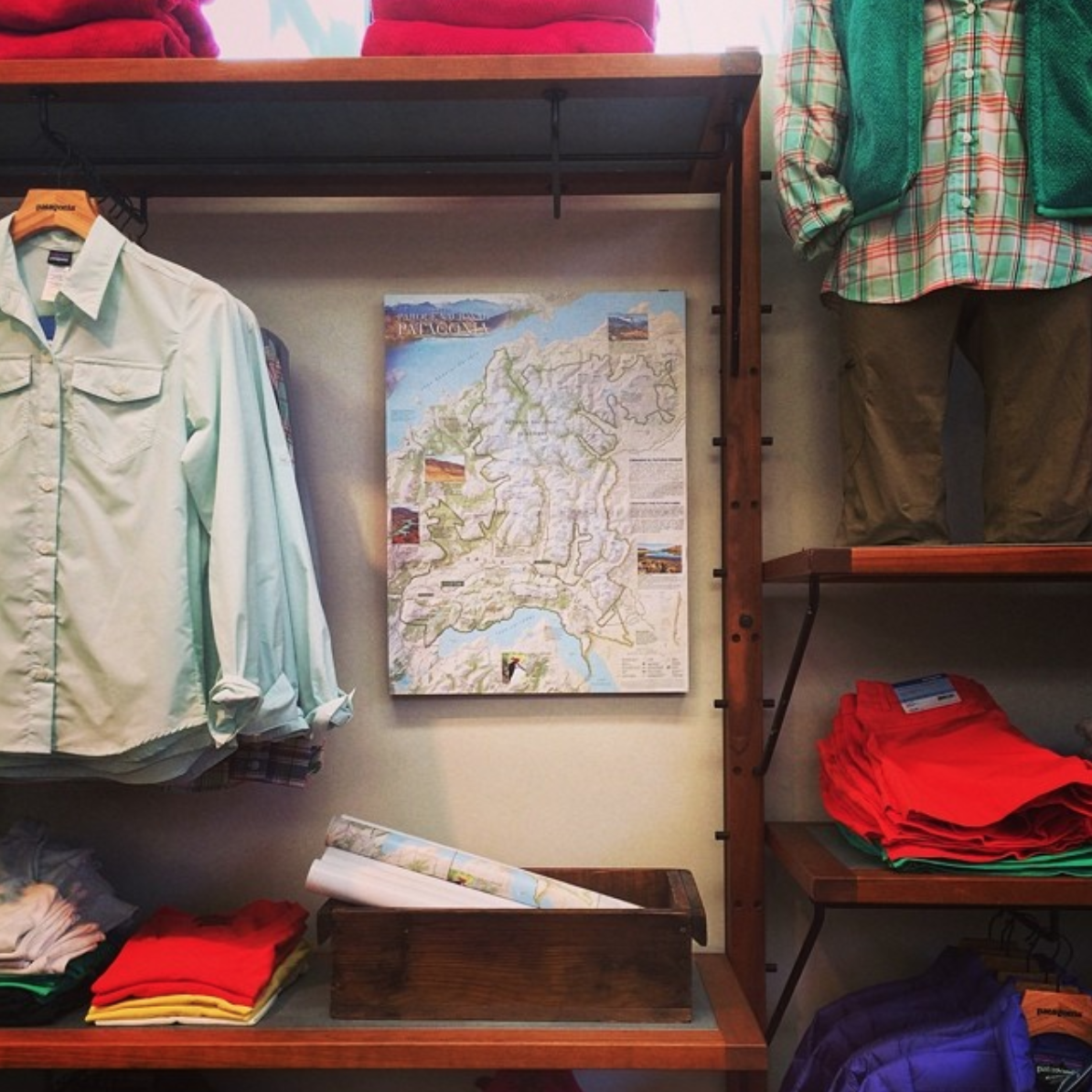
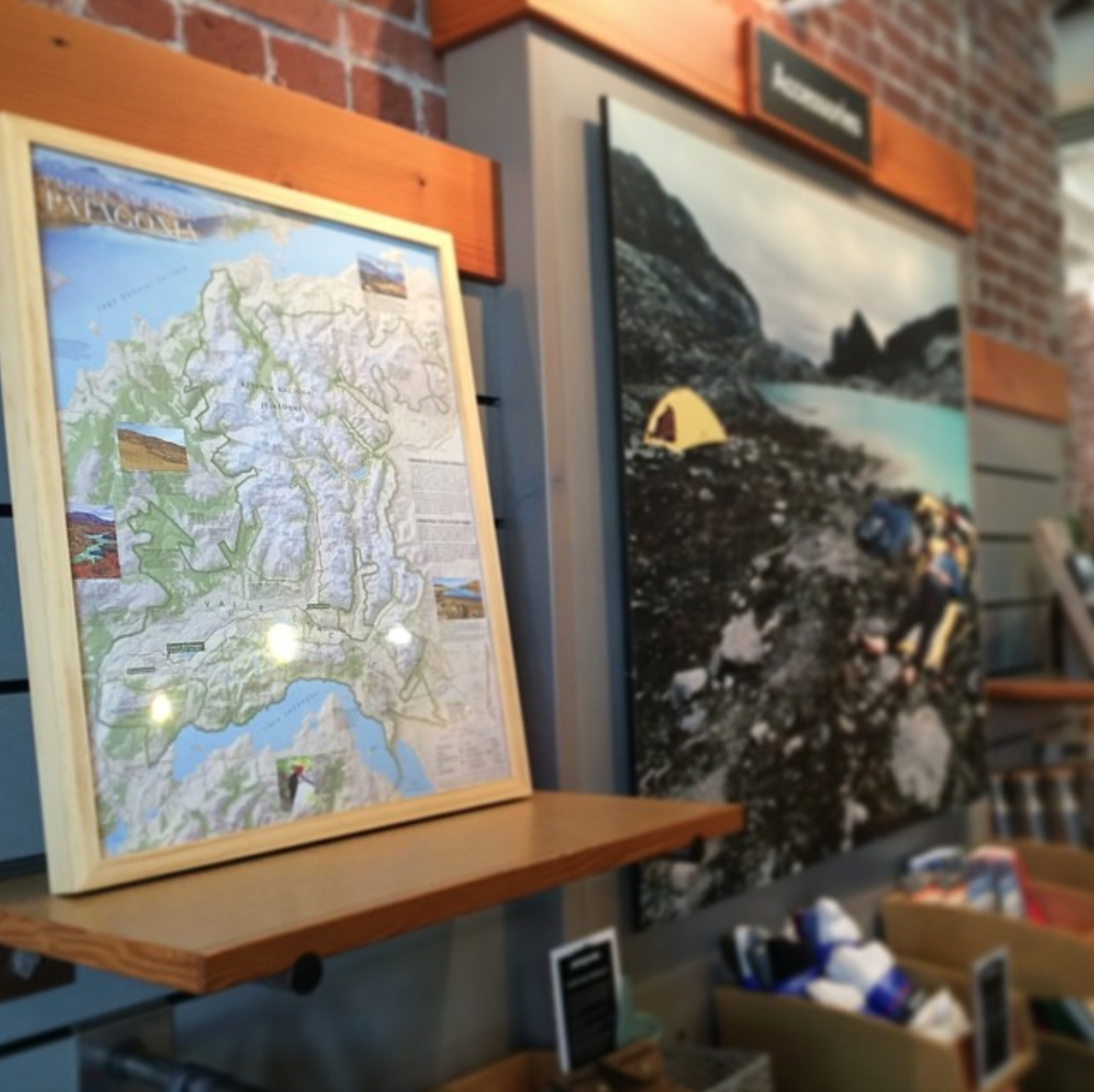
spotted in the wild
![]()
![]()
![]()
![]()
![]()
![]()
![]()
![]()
![]()
![]()
![]()
![]()
![]()
![]()
![]()
![]()
![]()
![]()
![]()
National Geographic Magazine
National Geographic Society
Patagonia, Inc.
Conservacion Patagonica
Duct Tape Then Beer
Terry Tempest Williams
The American Alpine Journal
Cascades Wolverine Project
Point Blue Conservation Science
Q Media
featured in
National Geographic 20 Under 30: The Next Generation of National Park Leaders
National Geographic Adventure: See What Inspired National Park Champion Doug Tompkins
National Geographic Expedition Raw: Mapping Patagonia
National Geographic Expedition Raw: Mapping the Mysterious Islands Near San Francisco
Conservacion Patagonica News
Switchback Travel
maps in books
Erosion by Terry Tempest Williams (Farrar, Straus and Giroux)
Tracking Gobi Grizzlies by Douglas Chadwick (Patagonia Books)
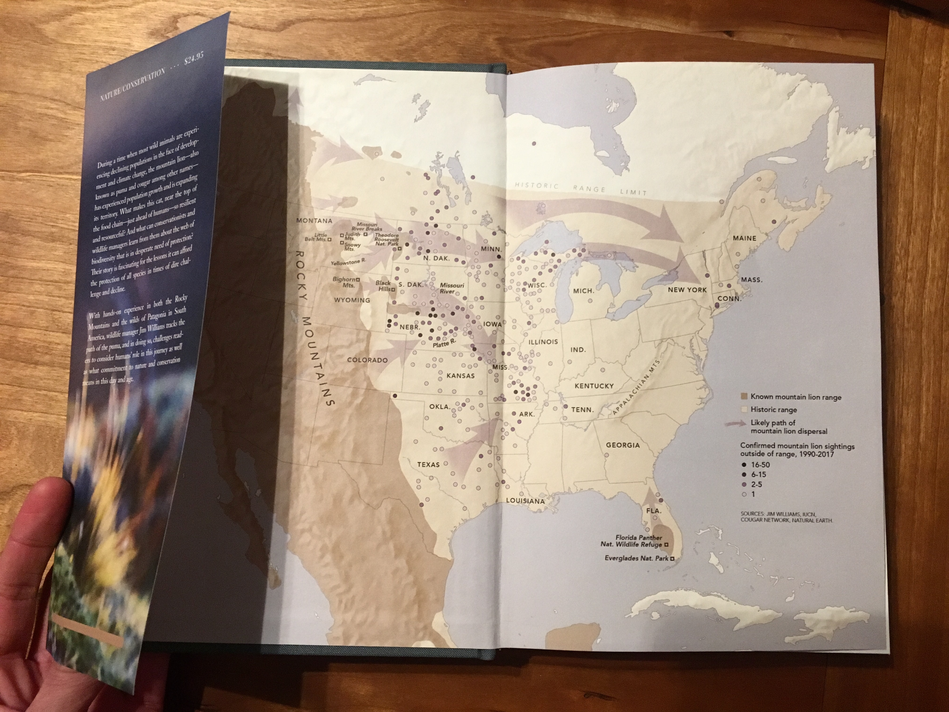
Path of the Puma by Jim Williams (Patagonia Books)
American Alpine Journal (2018, 2019, 2021, 2022)
Gardens of the High Line by Piet Oudolf and Rick Darke (Timber Press)
On the High Line by Annik LaFarge (Thames and Hudson)
The Third Coast by Thomas Dyja (Penguin)
photos in books
Patagonia 2014 Holiday Catalog
Tools for Grassroots Activists (Patagonia Books)
contact
marty@mapsforgood.org
spotted in the wild


